Final project for GIS Programming and Development class at UCLA.
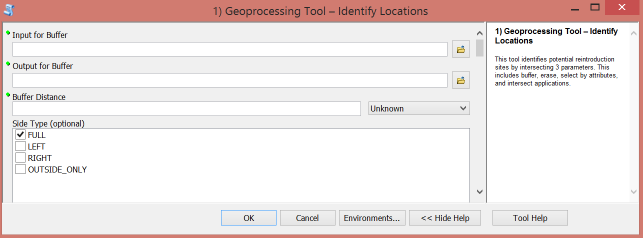
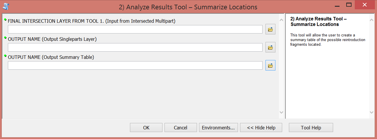
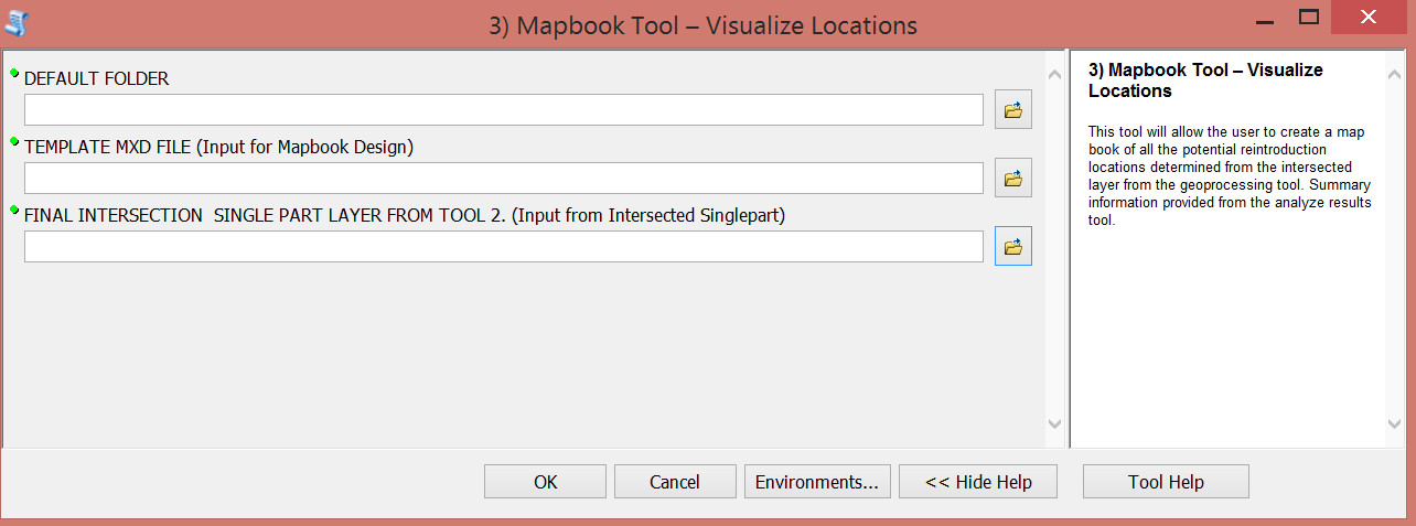
Created an ArcGIS Toolbox to support the reintroduction of species using three scripts that (see carousel slideshow below for pictures):
- Identify locations for a reintroduction based on the species' proximity needs to major city, desired ecoregion, desired elevation, desired slope ("geoprocessing tool")
- Summarize identified locations with an output table that includes total area/perimeter, mean area/perimeter, max area/perimeter ("analyze results tool")
- Visualize locations with a PDF of all possible reintroduction fragments with information on fragment area/perimeter ("mapbook tool")
Tools:
Skills:
suitability analysis, ArcGIS toolboxes, ArcPy, SQL, cursors, for loops, if statements
Presentation of the final project: